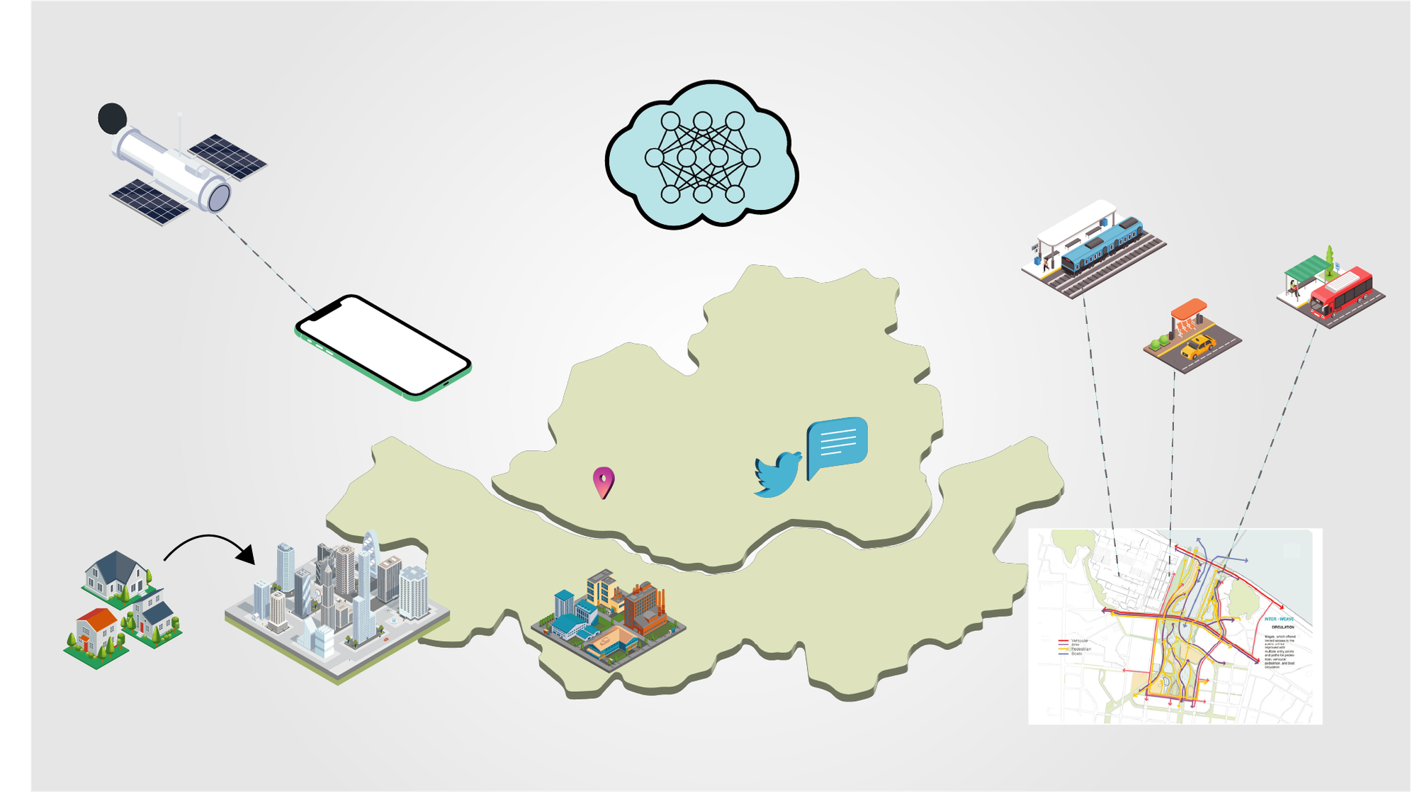
Our research team is dedicated to understanding the characteristics of various urban areas through data analysis, and using this knowledge to predict future urban transformations. Our previous studies have focused on developing machine learning models to prevent gentrification—a phenomenon where residential areas become overly commercialized, negatively impacting existing residents. We proposed a model that enables urban planners to gauge the level of commercialization in neighborhoods using social media data. Additionally, we have enhanced public transportation demand prediction by integrating deep learning models with diverse urban characteristics data, such as demographics, residential/commercial zoning, and the presence of cultural facilities/universities, along with public transportation data.
Urban studies leverage a wide array of data types, including traffic flow speeds, public transportation (bus and subway) data, pedestrian flow inferred from smartphone LTE signals, location-based social media posts (Instagram, Twitter), satellite imagery, road view data, location-based business permitting data, and more. These also extend to parking data, smart traffic lights/crosswalks, and bike/scooter sharing systems. However, the challenge lies in the complex utilization of these varied data characteristics, and there is a scarcity of research on models predicting long-term urban changes.
The technologies essential for our research field encompass Geographic Information System (GIS) tools such as geopandas and QGIS; Artificial Intelligence (AI) frameworks like TensorFlow, PyTorch, and SciPy; and Computational Social Science methodologies, including social media crawling and text mining. Our current research themes focus primarily on two areas: predicting changes in urban commercial areas and land values, and forecasting public transportation demand and traffic speeds.